But I did it.
On the 5th of December I started the Northern Circuit, a multi-day hike in the Tongariro National Park.
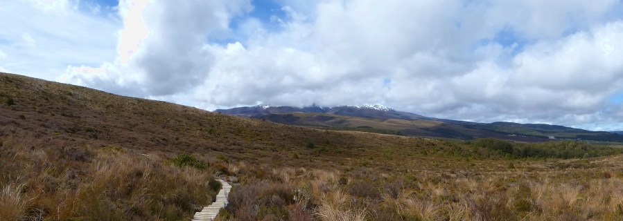
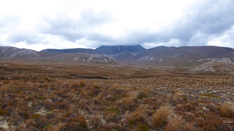
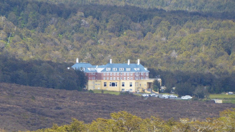
I started at around 10 am at Whakapapa village, but soon there was no sign of civilization anymore.
The path was mostly just poles with signs attached, which stood 50 to 100 m apart.
It was quite difficult to walk in some places because the rain had washed out ditches and some of them were quite deep.
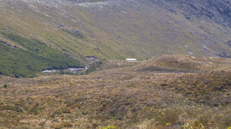
After approximately 2 and a half hours, I was surprised to see Mangatepopo hut, where I was staying the night, as the signs at the start of the track indicated a 3-4 hour hike. But I didn’t complain about a light start, as the next day was surely going to be exhausting.

The hut system in New Zealand, which is maintained by the DOC, is a little bit different than in Europe. I had to bring my own food and cooking utensils, as well as a sleeping bag.
In the end, it wasn’t that difficult, as I just packed fewer clothes to make my pack lighter.
Because I arrived pretty early, I just sat the whole afternoon in the hut with other hikers and chit chatted about pretty much everything.
And as there are only limited options to stay overnight along the track, we met again at the next hut and had an awesome time.
On the next day, the track joined up with the Tongariro Alpine Crossing, a popular day walk with up to 1000 people on it every single day.
So we, Jian and me, started at around 6 am, as we wanted to avoid the majority of the tourists.
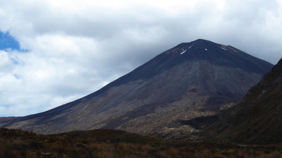
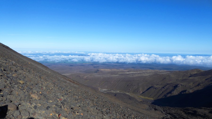
The first part of the trail led us through the Mangatepopo valley, while constantly being overshadowed by Mt. Ngauruhoe until we got to the Devils Staircase.
After we went up the 200 meters in elevation change, we got a beautiful view over the valley and even caught a glimpse of Mt. Taranaki on the west coast.
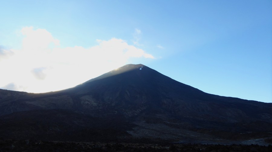
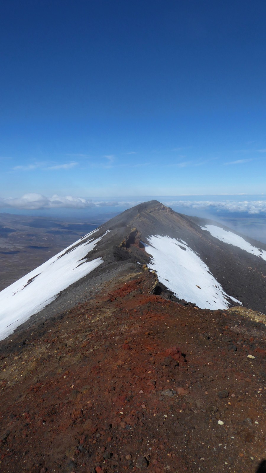
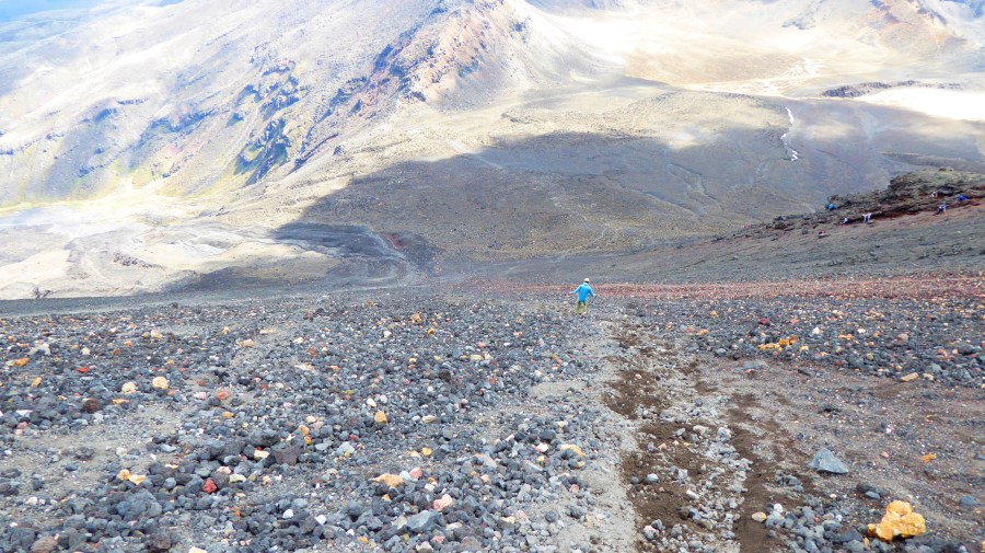
Since the clouds which surrounded the summit of Mt. Ngauruhoe at our departure from the hut went away, we decided to do the side track up the summit. But it wasn’t exactly a track, as it was more like finding a way for ourselves on a 45-degree slope. To make it even more difficult, the ground was covered in loose rock, so you had to take every step twice.
But after we got to the summit, the view was well worth the struggle getting up there.
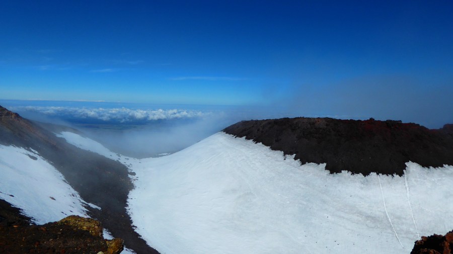
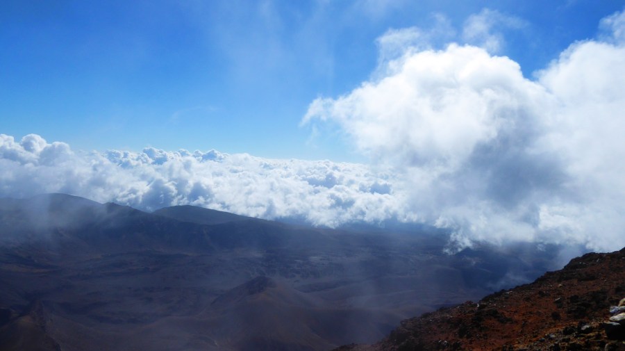
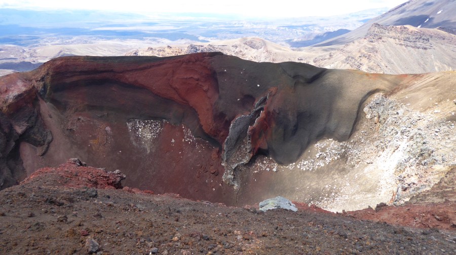
The entire track runs through a volcanic area and Mt. Ngaurohoe is no exception, although there is snow in the crater. In fact, there was steam coming out of vents in multiple places and we could hear the water boiling beneath the surface.
Some interesting side facts about Mt. Ngaurohoe:
Peter Jackson, the director of the Lord of the Rings and Hobbit movies, used the volcano and the surrounding area as background for the scenery in Mordor, so we definitely could walk into Mordor.
After we took some pictures of the surrounding landscape, clouds were moving in pretty fast, so we decided to go down and continue on the main track.
Luckily the way down was easier, as we slid down 3-5 meters for every step.
On our journey to the place where we left our bags, we could see that our early departure from the hut paid off, as there was a traffic jam on the slope of Mt. Ngauruhoe.
Most of the people were absolutely clueless about the dangers, as they even continued their way up when more clouds were moving in.
Some of them even wore jeans and sneaker, which is pretty high on the stupid scale in my opinion. I continued to be amazed at the outfit choices of many of the day walkers throughout the rest of the trail.
After we got back down, we had already 1500 meters in elevation changes in our legs, but we needed to go on.
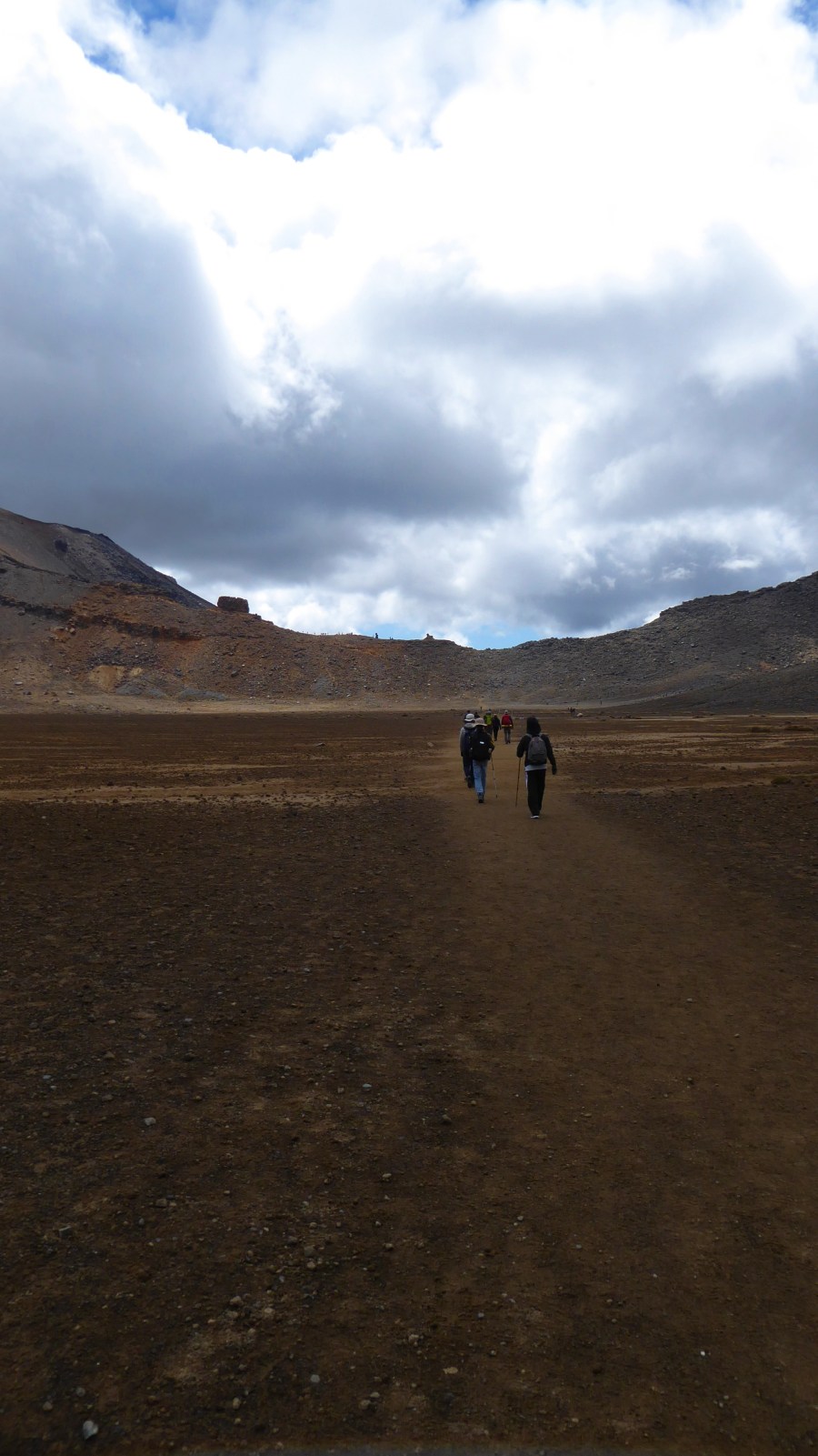
We crossed a plateau before we started the final ascension of the day towards the Red Crater.
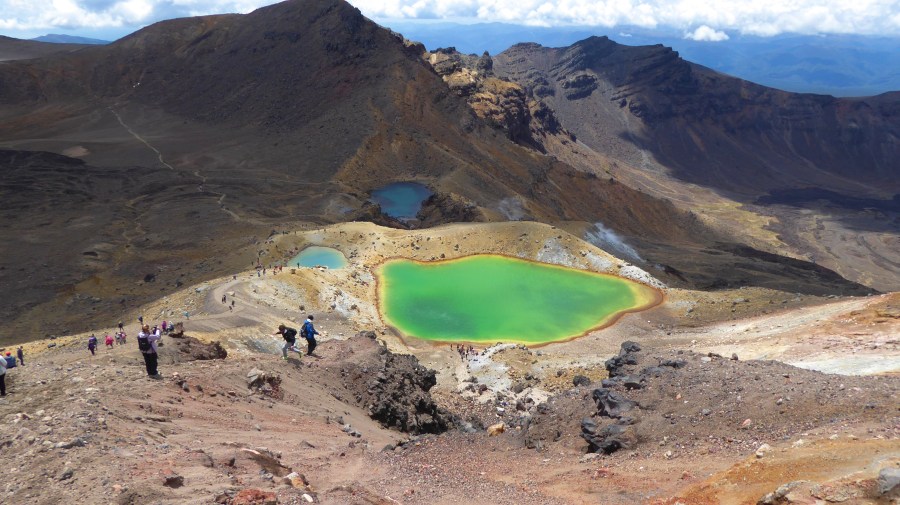
There I parted with Jian, as he wanted to go up Mt. Tongariro as well. I for my part had done enough side tracks for the day and continued with Paulina, a German backpacker, towards the Emerald Lakes, where we had lunch.
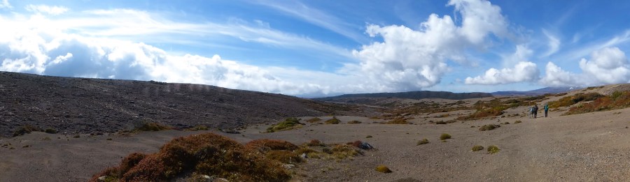
After our break, we left the big groups of tourists behind and continued through an ash desert towards the next hut.
This last part stretched pretty long and I was glad I only did one side track.
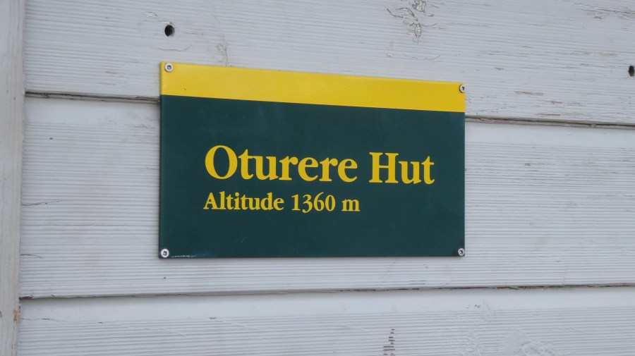
After 7 and a half hours, we finally arrived at Oturere hut, where we spent the night.
The next day was the last day for Jian, Dennis and me, as we all skipped the last hut.
We departed from Oturere hut and made our way through ash dunes and a forested valley towards Waihohonu hut, where we had a quick lunch.
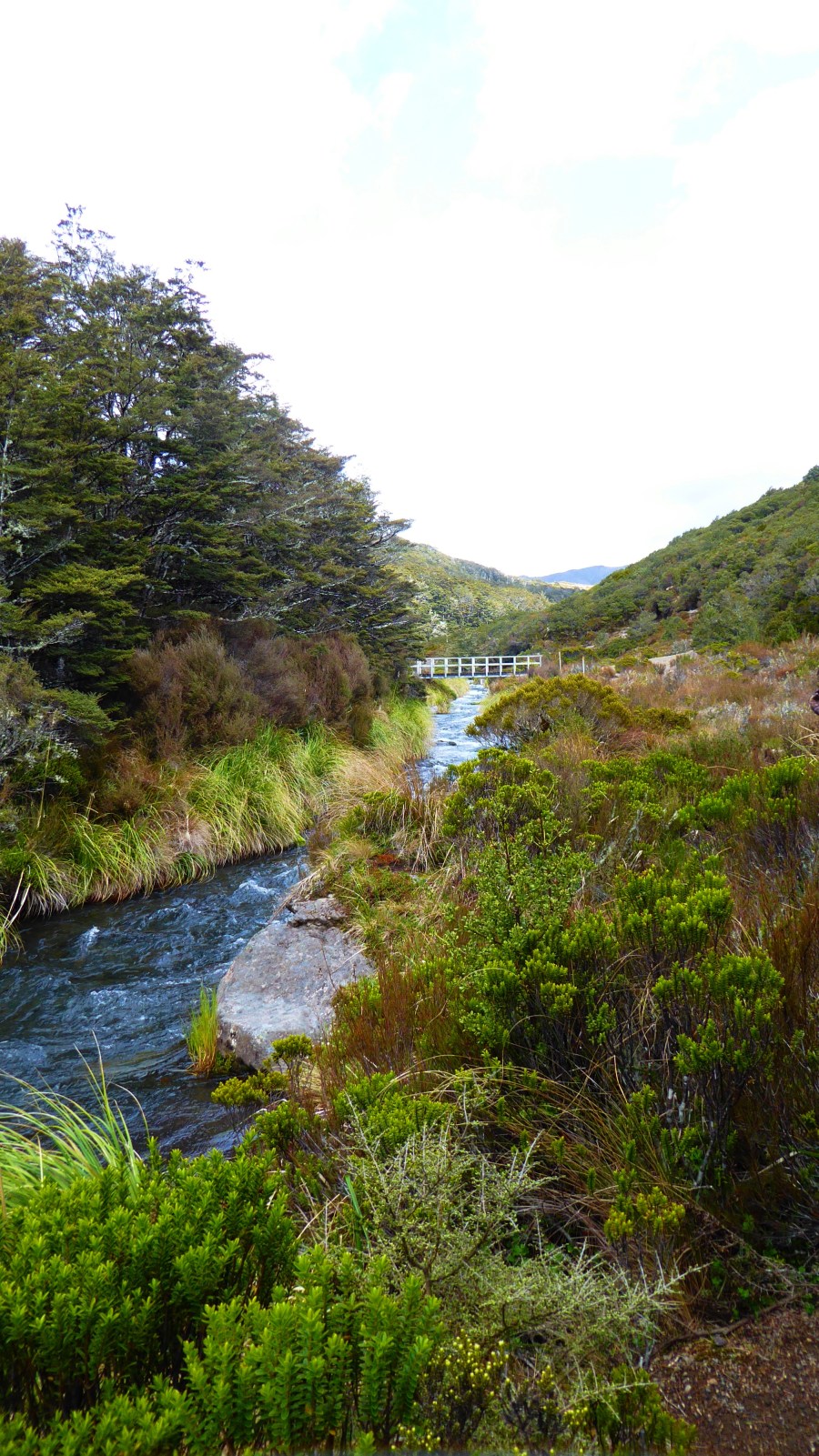
The last part of the trail was mostly well marked and went through a bush covered plateau.
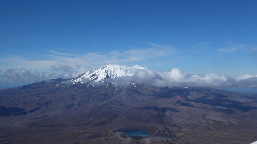
We had Mt. Ruapehu to the left and Mt. Ngauruhoe to the right, but the clouds were pretty low throughout the day so we couldn’t see them most of the time.
After one final ascent, we could, at last, see Whakapapa village where the track started.
When we got there, I collected my bag with valuables, which I left at the visitor center, but after that, we went into the pub got ourselves a cold (ginger) beer.
But we each had to drive towards different destinations so after a quick goodbye, I made my way towards Taupo again, where I am staying at the same, free campsite as last time.
After all, the 3 days on the Northern Circuit were an amazing adventure and I met so many awesome people. I also plan on coming back in the winter time to maybe do the Alpine Crossing.
For now, I am planning my route for the next week and I will definitely keep you updated.
Until then,
Cheers
